
Application Description
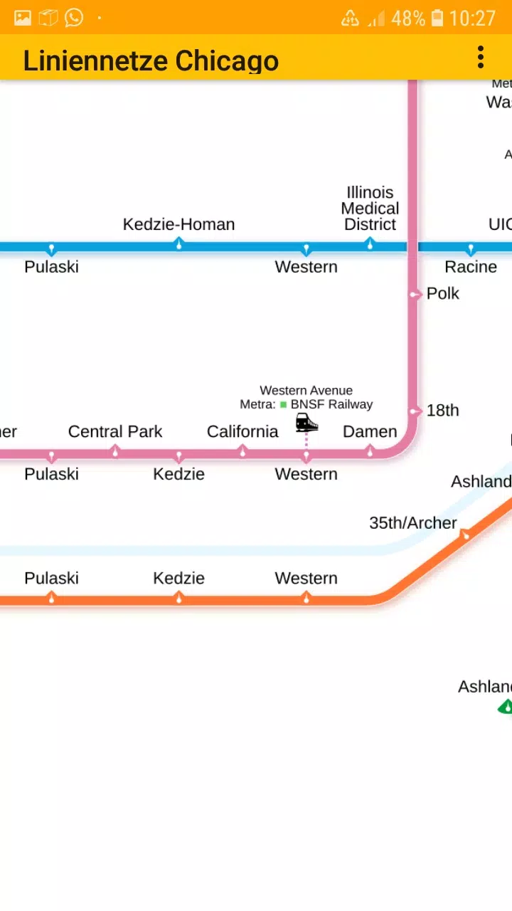
All essential subway and railroad maps of Chicago are now conveniently available in a single application designed for easy navigation. This app includes offline access to the following networks without needing any additional downloads:
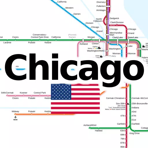
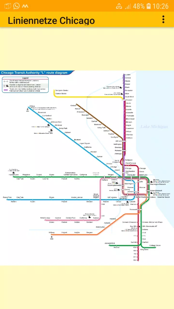
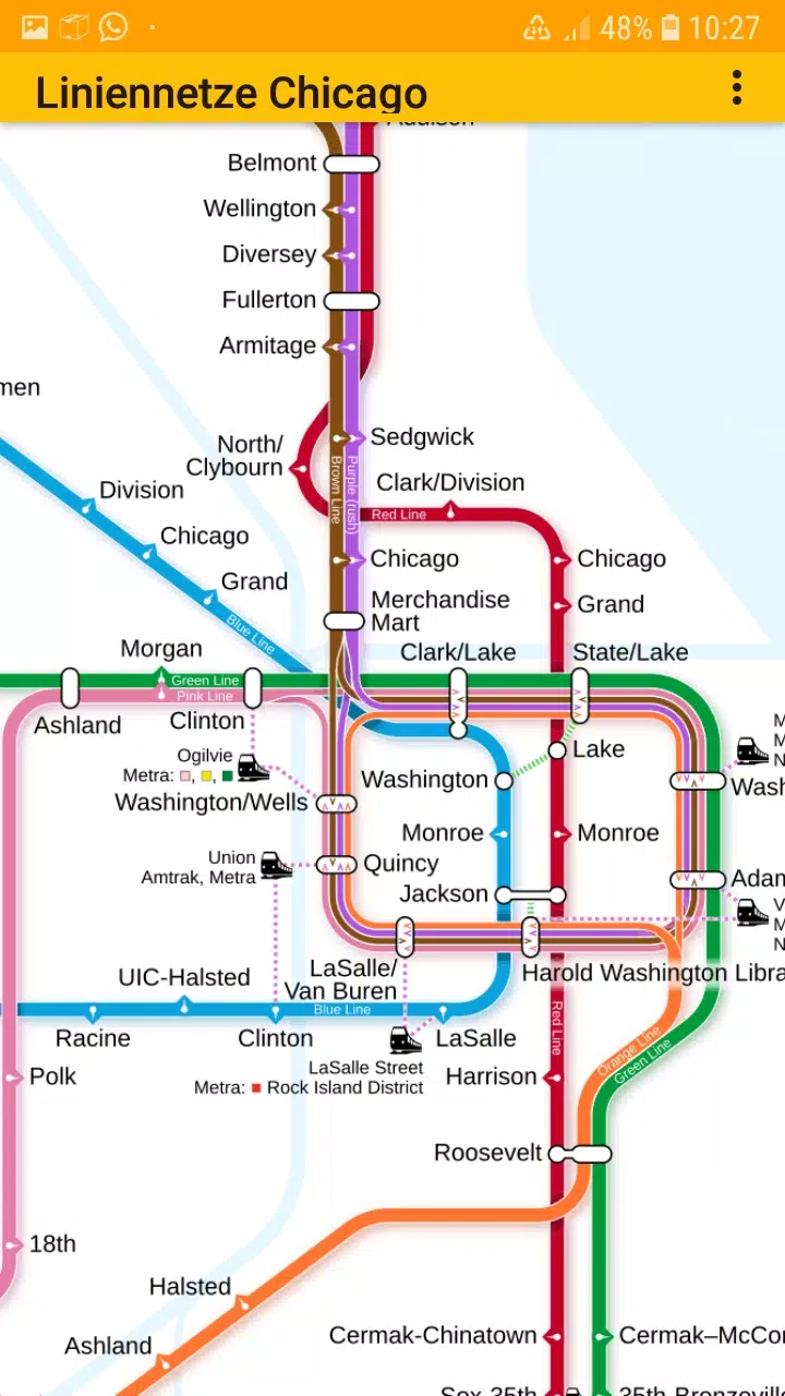
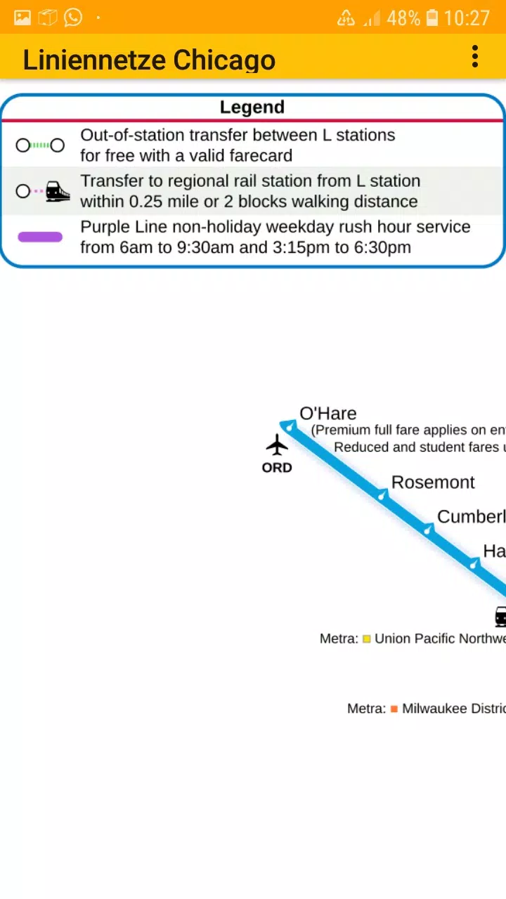
- Chicago elevated "L" rapid transit system
Social Media: Facebook: https://www.facebook.com/203994253076876
Homepage:https://dieeinsteiger.blogspot.com
This user-friendly app is perfect for both Chicago residents and tourists, featuring zoomable line network maps that you can easily scroll through and zoom in or out. The app organizes different types of transit maps into various tabs for seamless browsing.
The metro line network, also referred to as the underground, rail transit map, urban tube map, or public subway, is fully accessible within the app.
We value your input! Feel free to share suggestions for improvement, ideas, wishes, or feedback via email or through the contact form on our website: https://dieeinsteiger.blogspot.com/p/kontakt.html
Notices:
- Compatible with phones and tablets running Android 4.4 (KitKat, API 19) through Android 13.0 (API 33).
- Please note that the accuracy and completeness of the app's content are not guaranteed.
- The maps embedded in this app are subject to the Creative Commons license (CC BY-SA 4.0) and were created by Chinese Wikipedia user Sameboat, the copyright holder.
Enjoy exploring Chicago's transit system with our app, available on the Google Play Store, brought to you by dieEinsteiger.
What's New in Version 1.3
Last updated on Oct 20, 2024
v1.3 (06-08-2024)
- Updated to Android API 35
LineNetwork Chicago Screenshots
Reviews
Post Comments
Trending Games
Trending apps

![NULL [Remastered]](https://imgs.39man.com/uploads/71/1719651062667fcaf6c483b.png)


Latest Articles
More


"Pokémon Go Tests Go Pass in Select Regions"
Apr 28,2025
Pikmin Bloom's Official Walk Party for Earth Day
Apr 28,2025